by c2itconsult | Mar 24, 2023
Duke Site Readiness Program – 2022 Program Sites Each year we look forward to participating in the Duke Site Readiness Program and partnering with the Duke Energy and Site Selection Group teams to prepare business and industrial sites for economic development...

by c2itconsult | Mar 24, 2023
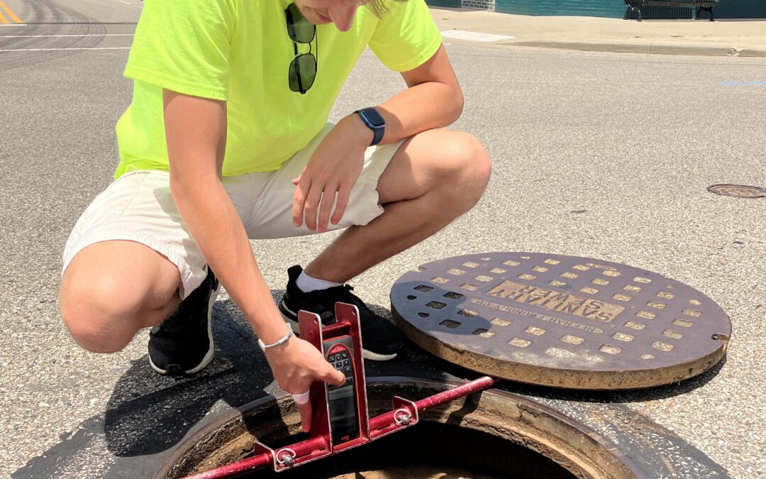
Lawrenceburg Mapping The City of Lawrenceburg sits along the Ohio River in southeast Indiana, 35 minutes west of Cincinnati. Over the years, the City of Lawrenceburg and Lawrenceburg Municipal Utilities (LMU) have managed its power, water, sewer, storm sewer, and...

by c2itconsult | Jun 22, 2022
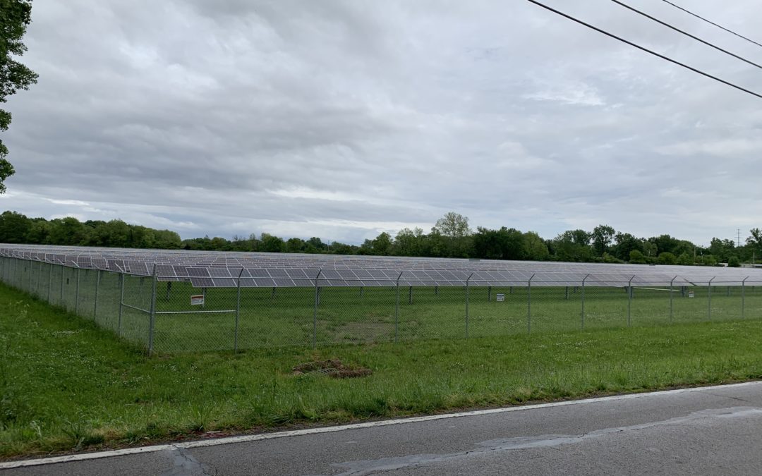
IMPA Solar Parks – Anderson 4 & 5 Site Visit Wade Banning, Project Manager, shares about a recent solar park site visit. When you think of Civil Engineering, solar parks don’t exactly come to mind, but even solar parks have a civil side associated with their...

by c2itconsult | Jun 22, 2022
Banning Engineering SiteVisit360 Are you looking to attract jobs to your community? Banning has helped communities with their economic development efforts for years. Coupling our GIS and 360-degree photo technology, we developed a unique tool for creative marketing....

by c2itconsult | Jun 22, 2022
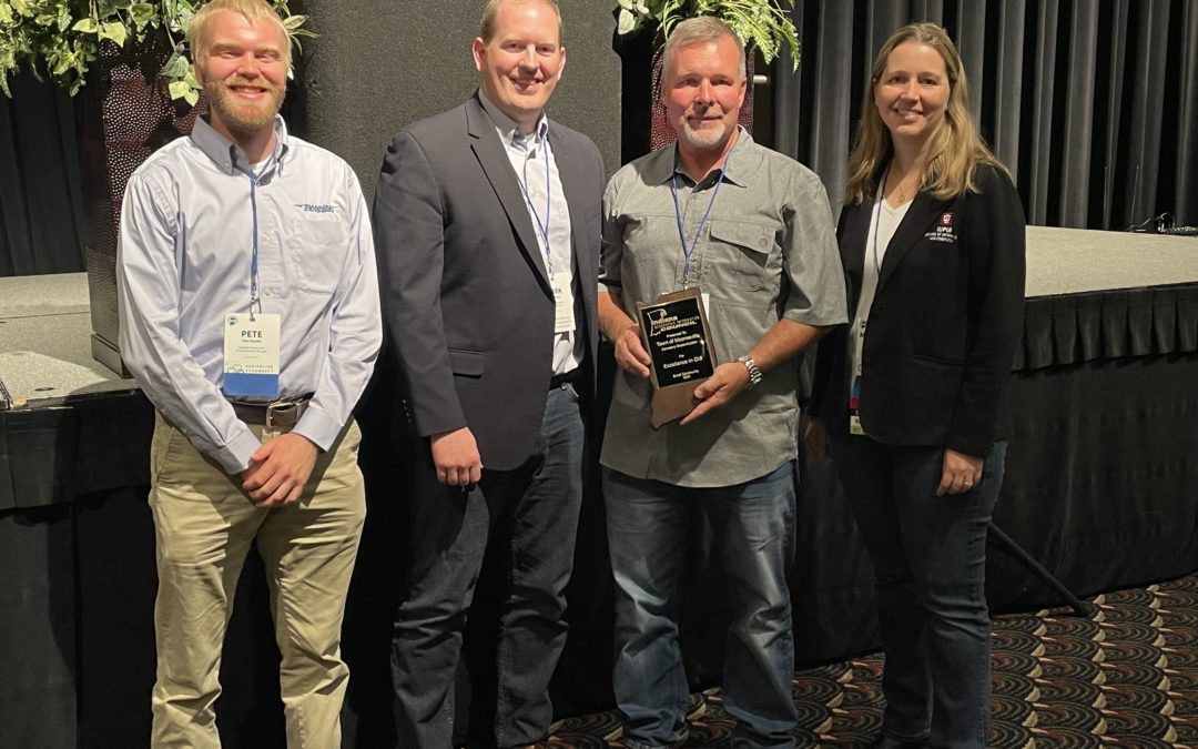
Mooresville Cemetery Modernization Project The Town of Mooresville currently manages and oversees the local cemetery. The current recordkeeping documents for the cemetery consist of old, hand-drawn maps and handwritten record cards. However, these existing records and...


